
Airbus, ST Engineering Sign Agreements
AIRBUS Defence and Space and ST Engineering have signed two Memoranda of Understanding (MoU) to jointly explore and develop advanced satellite capabilities and digital solutions.
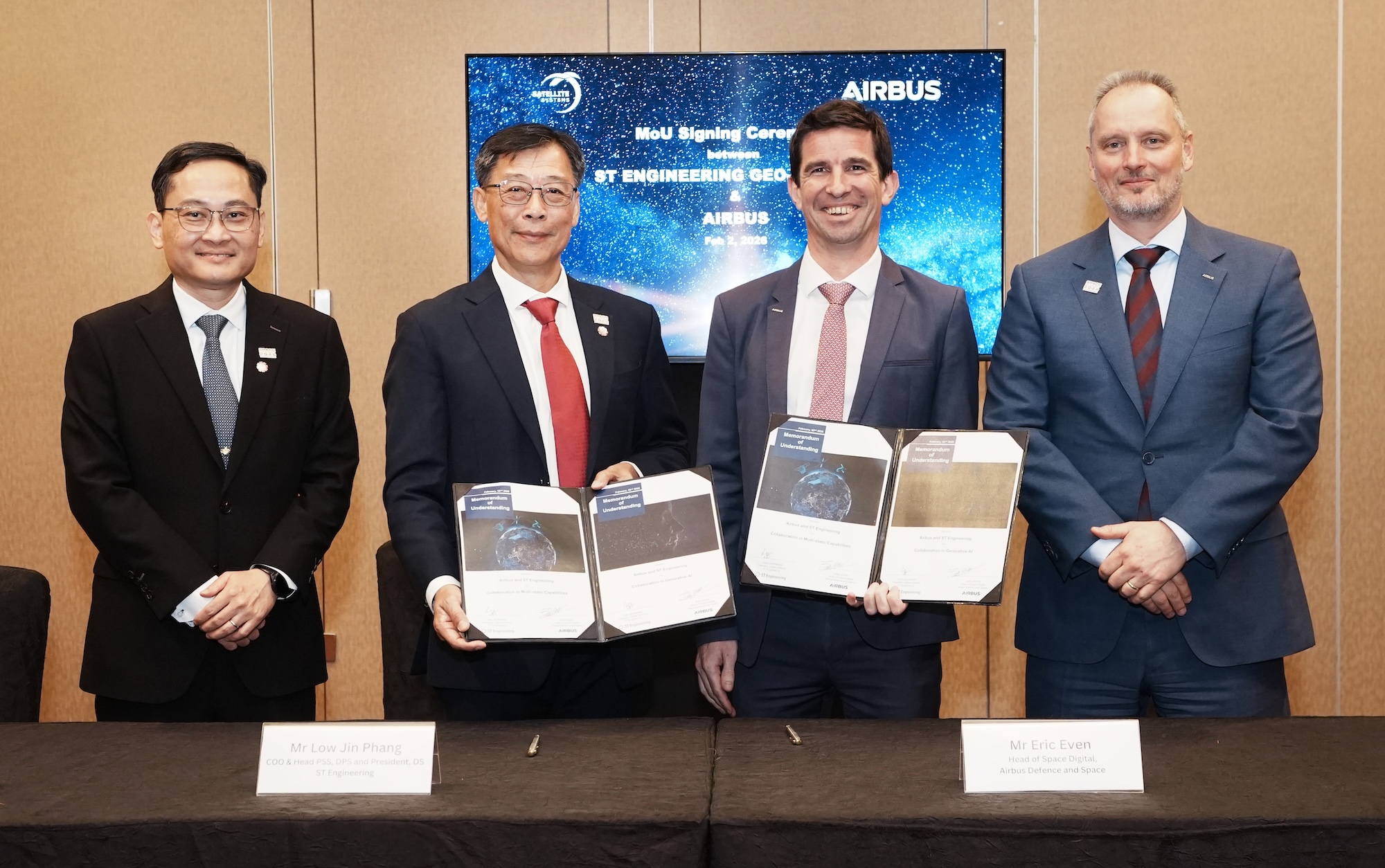
Signed at the Space Summit on the sidelines of the Singapore Airshow 2026, the agreements establish a framework for cooperation in next-generation Synthetic Aperture Radar (SAR) capabilities and Artificial Intelligence (AI)–enabled geospatial analytics to meet evolving market and customer needs.
“These MoUs reflect our shared ambition to push the boundaries of geospatial intelligence,” said Airbus Defence and Space Head of Region for Asia-Pacific Zakir Hamid. “By combining Airbus’ space and geospatial expertise with ST Engineering’s strong digital and satellite systems capabilities, we are well positioned to deliver next-generation solutions for customers in Asia-Pacific, Europe and beyond.”
ST Engineering Chief Operating Officer for Defence & Public Security, and President for Digital Systems Low Jin Phang added, “We are excited to deepen our collaboration with Airbus Defence and Space, leveraging our capabilities in the design and manufacture of Earth observation satellites and other imagery solutions. In combination with our expertise in AI and digital tech, we are confident of creating innovative Space solutions and services together with Airbus”.
This MoU formalises the collaboration to explore a joint partnership between Airbus and ST Engineering in developing a new satellite imaging concept known as multi-static Synthetic Aperture Radar (SAR), with ST Engineering to develop the companion satellites to operate alongside the PAZ-21 satellite manufactured by Airbus and the commercialisation of this service. This “3D SAR” approach involves one satellite transmitting radar signals and three others receiving them from different angles. By combining these perspectives, the system can generate richer, more detailed and more reliable 3D models of the Earth’s surface.
This multi-satellite approach ensures high-accuracy imaging regardless of darkness, weather, or ground interference. These reliable, real-time insights will significantly enhance missions in defence, border surveillance, and disaster response, where timely and dependable information is critical.
The second MoU will see both companies develop a Generative AI system for advanced satellite imagery analysis. By applying advanced AI techniques to geospatial data, the collaboration will enhance object detection, change monitoring, and automated reporting, providing faster and more accurate insights for decision-makers. To further support innovation and scaling, the collaboration will also assess opportunities to tap into Singapore’s local expertise to accelerate the development and deployment of satellite and AI technologies.
These new MoUs build on a long-standing history of cooperation between Airbus and ST Engineering. ST Engineering Geo-Insights has been a long-term reseller of Airbus satellite imagery services, providing customers in the region with access to high-quality Earth observation data.
By working closely together, Airbus and ST Engineering aim to help customers respond more effectively to security challenges, natural disasters and everyday operational needs, delivering practical solutions with real-world impact.